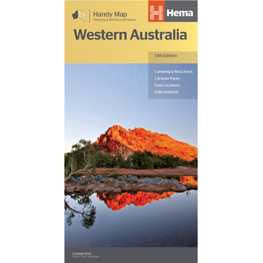
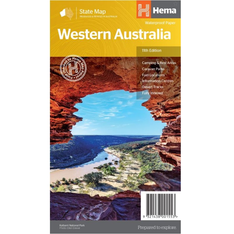
Description Western Australia State Road Map The Western Australia State Road Map from Hema is a fully indexed state map in a 1:2,500,000 scale. The map includes national parks, information centres, 24-hour fuel points, camping sites and rest areas. On the reverse are CBD and through road maps of Perth in addition to inset maps of Leeuwin-Naturaliste National Park, Cape Range National Park, Nambung National Park, Francois Peron National Park, Purnululu National Park, Walpole-Nornalup National Park and Karijini National Park.