DDGOODI.ES ≡ Gloves Soap & Lotion Dispensers [Household] Trousers
  • Western Australia Maps

  • Gunbarrel Highway Map

Gunbarrel Highway Map

$13.37 $19.39
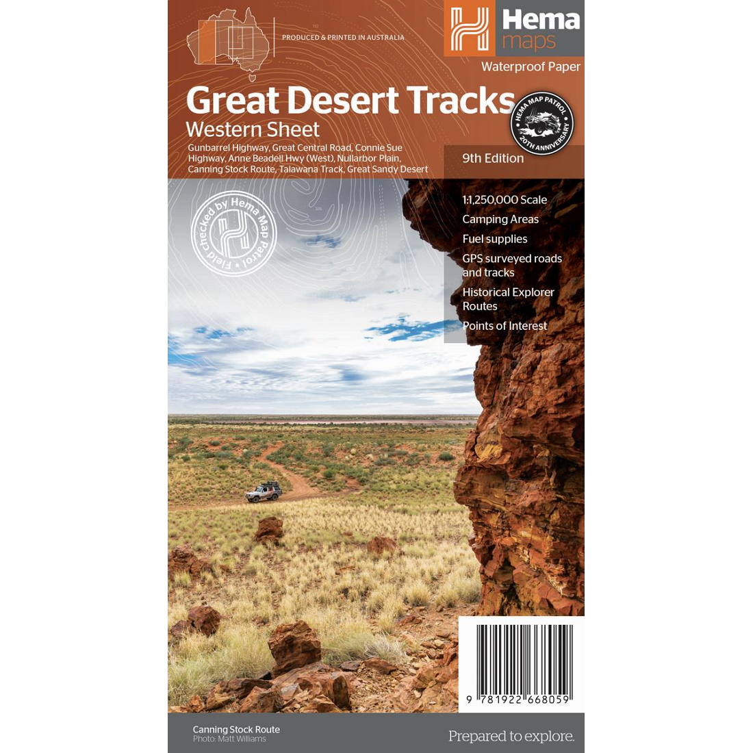
Description Gunbarrel Highway Map The Gunbarrel Highway Map includes the section of the Gunbarrrel Highway explored and surveyed by Len Beadell in 1958.  It is shown on this map complete with GPS readings. The Highway links with the Canning Stock Route and Tanami Track, a circular route popular with many 4WD travellers. The Gunbarrel Highway is featured because of its popularity but the Great Central Road and several interconnecting tracks within the Gibson Desert are also featured on this map. Westprint Maps are highly regarded maps for desert areas. All Westprint maps contain notes on history, explorers, points of interest, surrounding flora and fauna and contain various photos of landmarks. The maps are very clear to read and have road distances, rest areas, caravan parks and fuel outlets noted.
Western Australia Maps

Western Australia Maps

  • Western Australia Handy Road Map
    $10.8 $18.36
  • South West Western Australia Map 682
    $32.59 $48.23
  • Gunbarrel Highway Map
    $13.37 $19.39
  • Western Australia State Road Map
    $14.4 $25.49
  • South West Western Australia Map
    $21.72 $29.76
  • Western Australia State & Suburban Map 670
    $12.84 $17.98
  • Perth Suburbs & City Centre Map 618
    $31.73 $52.35
  • Western Australia State & Cities Map 619
    $22.67 $39.45
  • Perth & Region Map
    $10.8 $16.31
  • Canning Stock Route Map
    $19.87 $25.23
  • Perth City Streets & Suburbs Map 662
    $13.1 $23.71
  • Great Desert Tracks Western Sheet Hema
    $10.69 $16.04
  • The Kimberley Map
    $24.67 $48.35
  • Mid West Western Australia Map
    $15.96 $25.54
  • Pilbara & Coral Coast Map
    $23.03 $30.63

© 2026 - DDGOODI.ES