DDGOODI.ES ≡ Gloves Soap & Lotion Dispensers [Household] Trousers
  • South Australia Maps

  • South Australia State & Cities Map 519

South Australia State & Cities Map 519

$15.08 $25.18
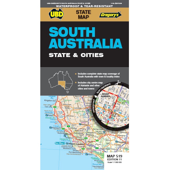
Description South Australia State & Cities Map 519 The latest edition of the South Australia State and Cities map is an essential tool when travelling in South Australia.  It includes a state map and index to towns and localities at a scale of 1:1,900,000 and state touring information. In addition to this, there is a map covering 150km around Adelaide, including the Yorke & Fleurieu Peninsulas and Kangaroo Island at a scale of 1:100,000. There is also street level mapping for Adelaide City and Coober Pedy, Hahndorf, Kangaroo Island, Murray Bridge, Nuriootpa, Renmark and Victor Harbor.
South Australia Maps

South Australia Maps

  • Victoria’s Deserts Touring Map
    $12.88 $17.26
  • Nullarbor Plain Map: Eastern Sheet
    $26.66 $50.12
  • Yorke Peninsula & Copper Coast Map
    $22.16 $31.91
  • Limestone Coast Map SA
    $19.76 $29.84
  • Mid North South Australia Map
    $11.66 $15.5
  • South Australia State Road Map
    $30.44 $39.27
  • South Australia Handy Map
    $10.8 $18.36
  • Oodnadatta Track Map
    $34.85 $56.46
  • South Australia State & Cities Map 519
    $15.08 $25.18
  • Nullarbor Plain Map: Western Sheet
    $26.74 $35.03
  • Nullarbor Plain Adelaide to Perth
    $11.59 $16.11
  • South Australia State & Suburban Map 570
    $32.96 $42.85
  • Melbourne to Adelaide Road Map
    $14.4 $28.22
  • Murray River & Mallee Map South Australia
    $12.9 $16.38
  • Kangaroo Island Map
    $22.15 $37.43
  • Melbourne to Adelaide Road Map 345
    $10.79 $20.5

© 2026 - DDGOODI.ES