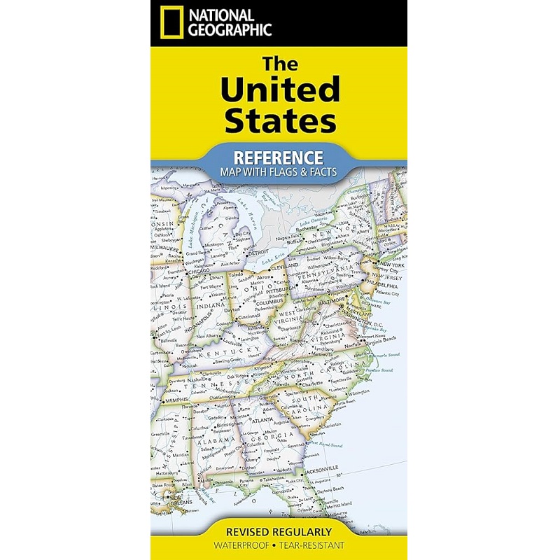
Description United States Reference Map with Flags & Facts Expertly researched and designed, National Geographic’s United States Flags & Facts Map is the authoritative map of the USA by which other reference maps are measured. The map side includes a political map showing states, cities and other landmarks and a physical map shows the landforms such as mountain ranges and rivers. Clearly defined boundaries, major cities, and physical features Hundreds of place names Includes all 50 states with inset maps for Alaska and Hawai’i Detailed physical map of the United States with mountain ranges, plains, lakes, and rivers Flags and facts with detailed information about cultural and physical attributes Printed in the U.S.A. on extremely durable, waterproof, and tear-resistant material This Reference Map is printed on durable synthetic paper, making it waterproof, tear-resistant and tough — capable of withstanding the rigors of use in the home or classroom.