DDGOODI.ES ≡ Gloves Soap & Lotion Dispensers [Household] Trousers
  • Victoria Maps

  • High Country Victoria North West Map

High Country Victoria North West Map

$14.4 $22.61
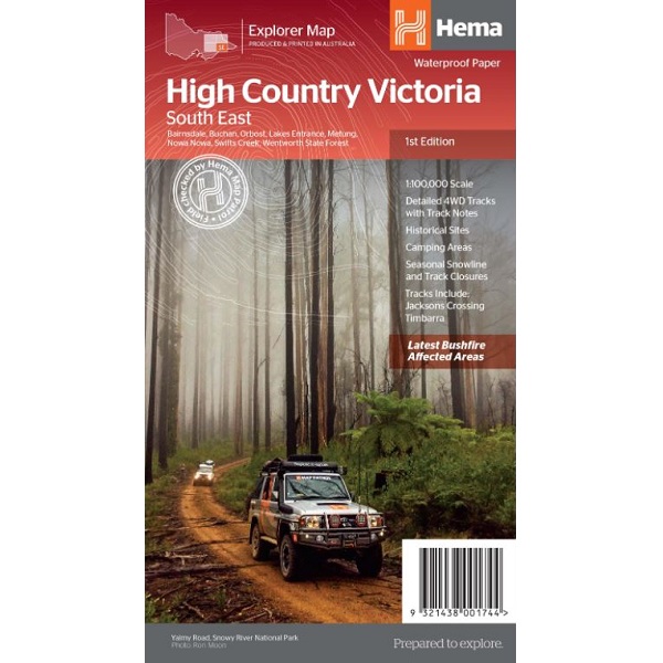
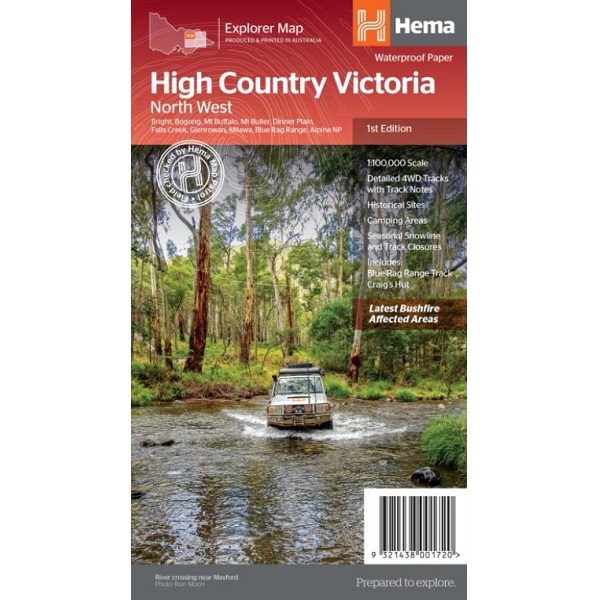
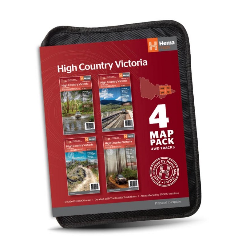
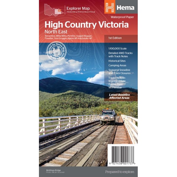
Description High Country Victoria North West Map The High Country Victoria North West Map is part of Hema’s new Victorian High Country Map Series and covers the North Western Alps Area including Hotham, Wangaratta and surrounds. Towns featured include: Bright, Bogong, Mt Buffalo, Mt Buller, Dinner Plain, Falls Creek, Glenrowan, Milawa, Blue Rag Range, Alpine National Park. Tracks include: Blue Rag Range Track, Craig’s Hut.
Victoria Maps

Victoria Maps

  • Mallacoota – Merimbula Adventure Map
    $25.06 $40.85
  • High Country Victoria 4 Map Pack
    $28.95 $56.16
  • Great Ocean Walk Map
    $15.02 $21.18
  • High Country Victoria North East Map
    $14.4 $23.62
  • Great South West Walk & Lower Glenelg Map
    $34.64 $47.46
  • Little Desert National Park & Mt Arapiles Map
    $27.82 $51.75
  • High Country Victoria Map
    $12.63 $20.84
  • Great Ocean Road Map 308
    $23.11 $28.19
  • Lerderberg & Werribee Gorges Map 7
    $22.29 $43.24
  • Halls Gap Special 1:25k Map
    $28.99 $44.35
  • Jamieson – Licola Adventure Map
    $14.24 $24.92
  • High Country Victoria South West Map
    $14.4 $17.71
  • Marysville – Lake Eildon Adventure Map
    $13.46 $22.6
  • Mansfield Mt Howitt Adventure Rooftop Map
    $17.76 $28.24
  • High Country Victoria North West Map
    $14.4 $22.61
  • High Country Victoria South East Map
    $14.4 $28.66

© 2026 - DDGOODI.ES